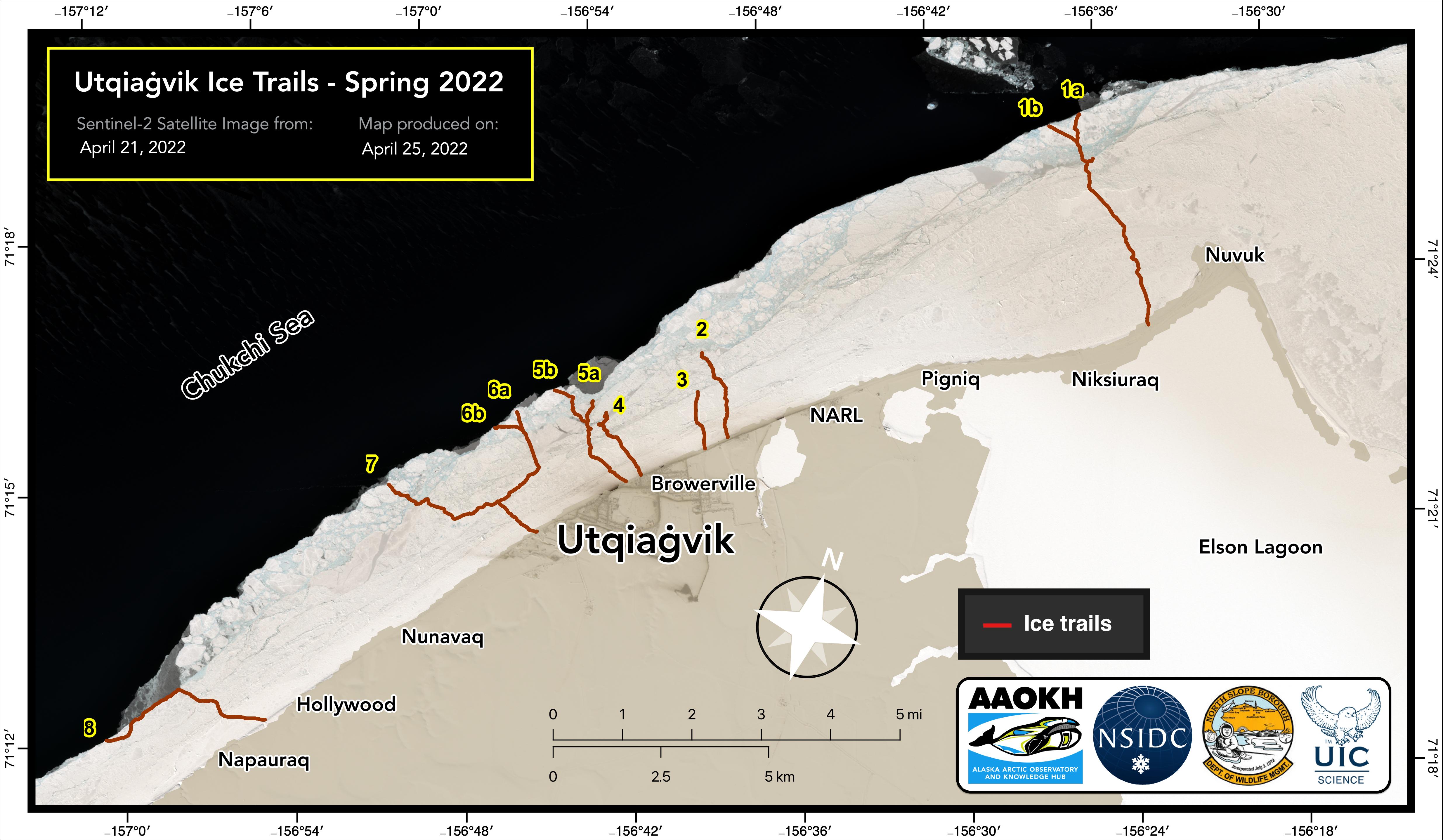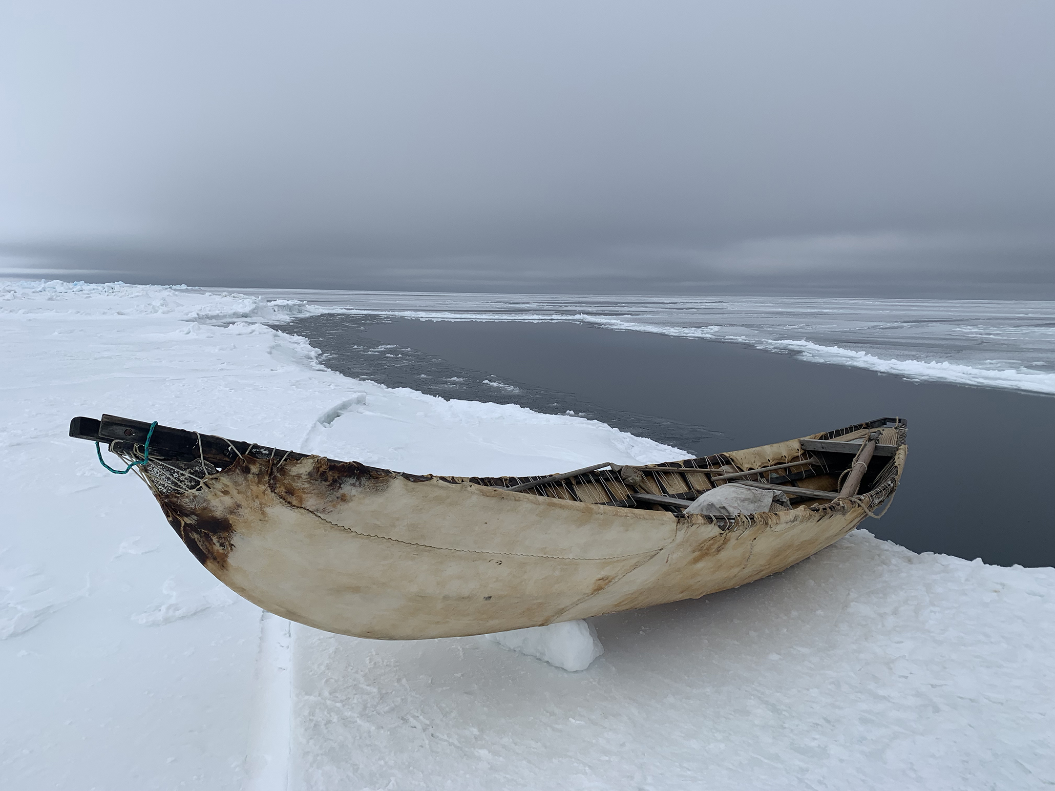
Between April 14 and 24, 2022, Matt Druckenmiller and Josh Jones from Alaska Arctic Observatory & Knowledge Hub (AAOKH), traveled to Utqiaġvik, Alaska, to map and survey ice conditions on trails used by local whaling crews. Each spring, Utqiaġvik hunters build trails across the coastal shorefast sea ice to access sites for hunting the migrating bowhead whales. Since 2007, scientists, in cooperation with community members, have mapped the trails to track local ice conditions and to provide useful information to the community.
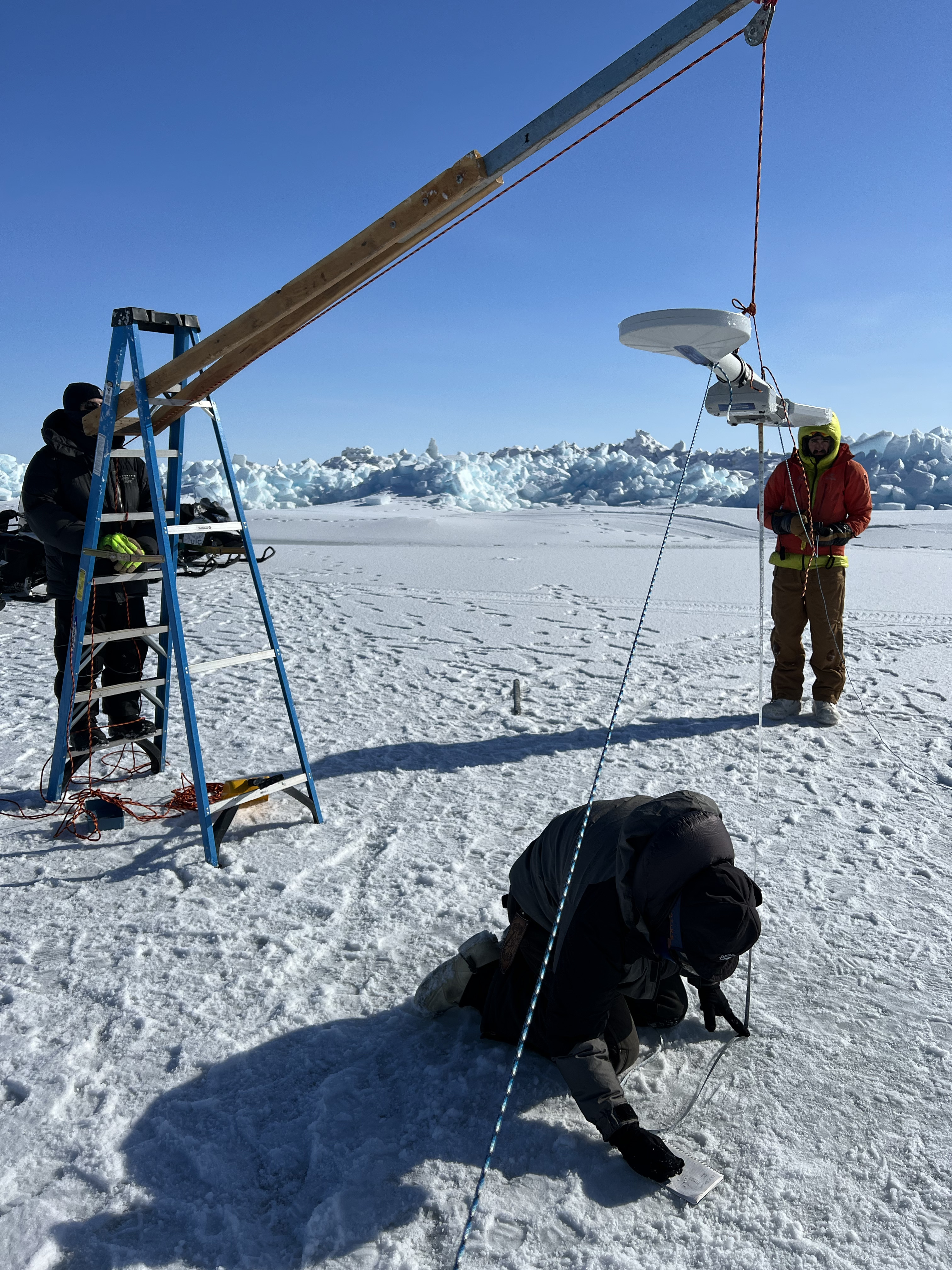
These annual surveys measure the thickness of the shorefast ice, identify potential hazardous ice each year, and serve as a long-term record for changing ice conditions. Druckenmiller and Jones use different ways of sharing the gathered data and information with whalers and community members, including circulating printed maps, posting maps to AAOKH’s Facebook page, and emailing. The AAOKH team is also exploring using a computer monitor hung at the local Barrow Search and Rescue base, which during whaling has shared in real-time project maps, sea ice radar information, satellite imagery, and weather information.
AAOKH supports this annual ice trail mapping project, in partnership with the North Slope Borough Department of Wildlife Management and Ukpeaġvik Iñupiat Corporation (UIC) Science. The project coordinates with local whaling crews, with approval from the Barrow Whaling Captains Association.