
Kuigpak/Yukon River
In 2011 CEC staff began working with Yukon delta elders from the villages of Kotlik, Emmonak, Alakanuk, and Nunam Iqua to help them document their traditional place names, including names for camps, rivers, sloughs, and ocean channels.
Our first step was meeting with village elders in March 2011. With the help of Yup'ik language expert Marie Meade, the elders documented over 300 place names. In July and August, elders traveled throughout the delta with CEC staff members Mark John and Ann Fienup-Riordan, visiting sites and recording stories of activities and events that took place there. Alice Rearden then transcribed and translated the recordings so that these stories could be included as part of the Yukon delta map.
Unlike Nelson Island, where the majority of names are attached to points and historic sites, on the Yukon, naming focused on routes in what Ray Waska described as the "highway of puzzles" that comprise the delta. Yukon elders also fear the new English names and nicknames youth are attaching to the old places—names like Ukulele and KK Slough, for Yuuqernarli and Qerqertuuli, which they cannot pronounce, and Snotty Slough (for Kakeggluk, literally, "snot," for the mucus warriors observed floating downstream, so revealing their enemies' location). While for elders all places have names, young people know few places well.
Today, as Emmonak elder Mike Andrews says:
"They don't recognize places but only bump into things."
According to Alakanuk elder Fred Augustine, good map work will save lives.
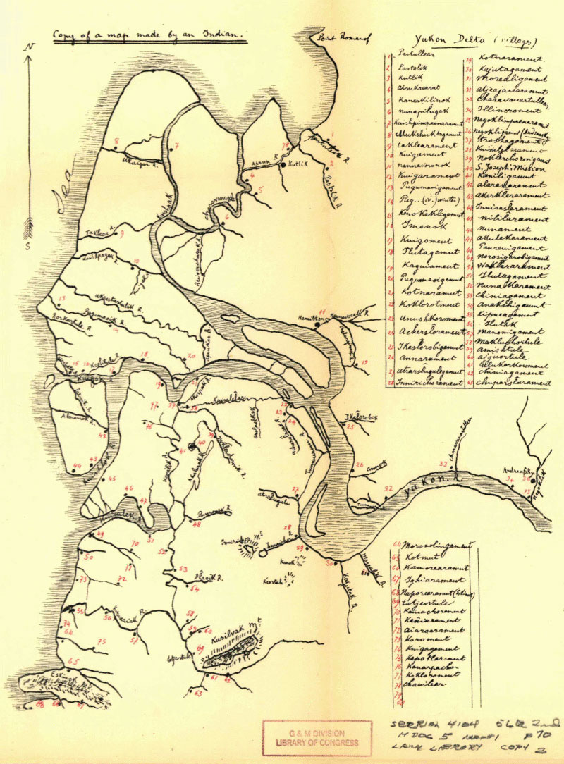 Historic map of Yukon Delta settlements and seasonal camps, 1910
Jesuit Oregon Province Archives, Spokane, Washington
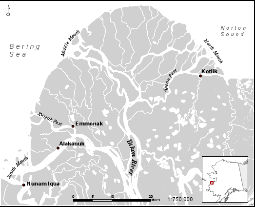
Map of the Yukon River Delta